Saturday, March 9, 2013

Douty Mill and Cochran Area - Mar 9, 2013


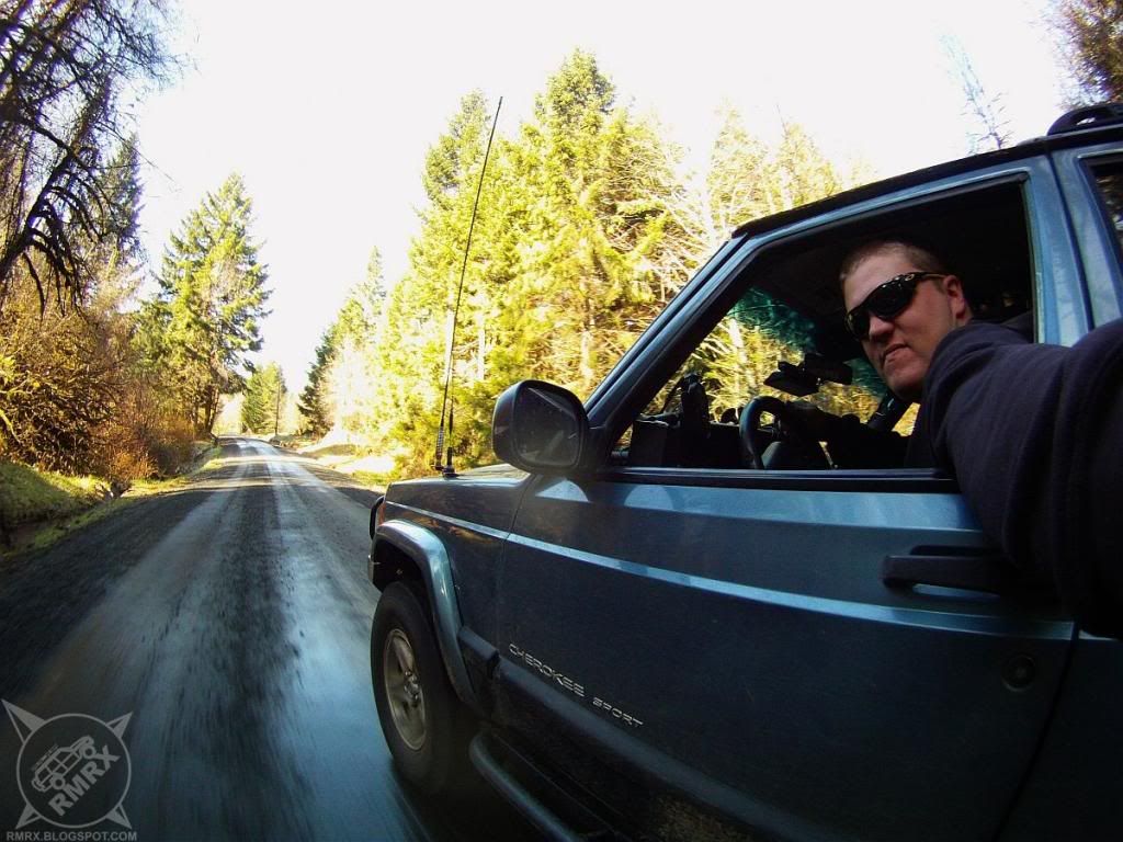
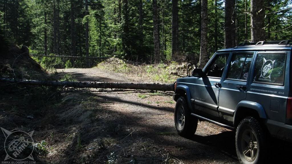
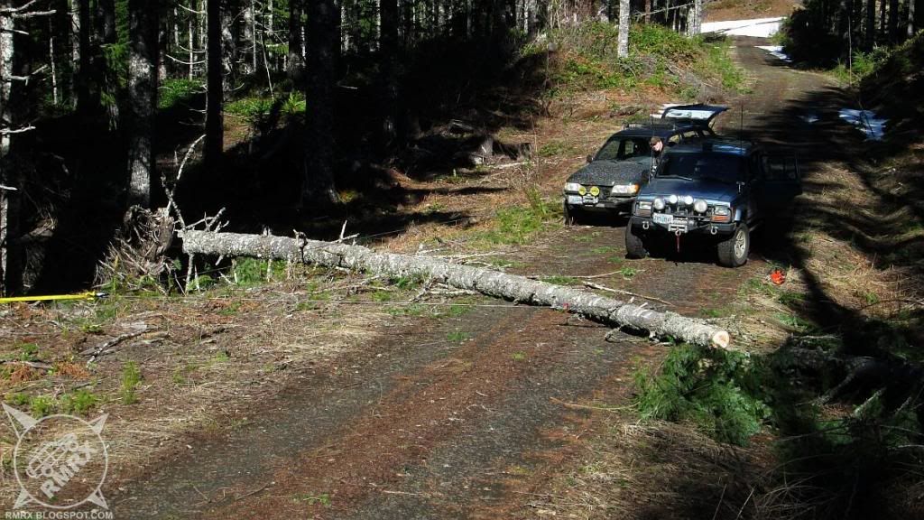
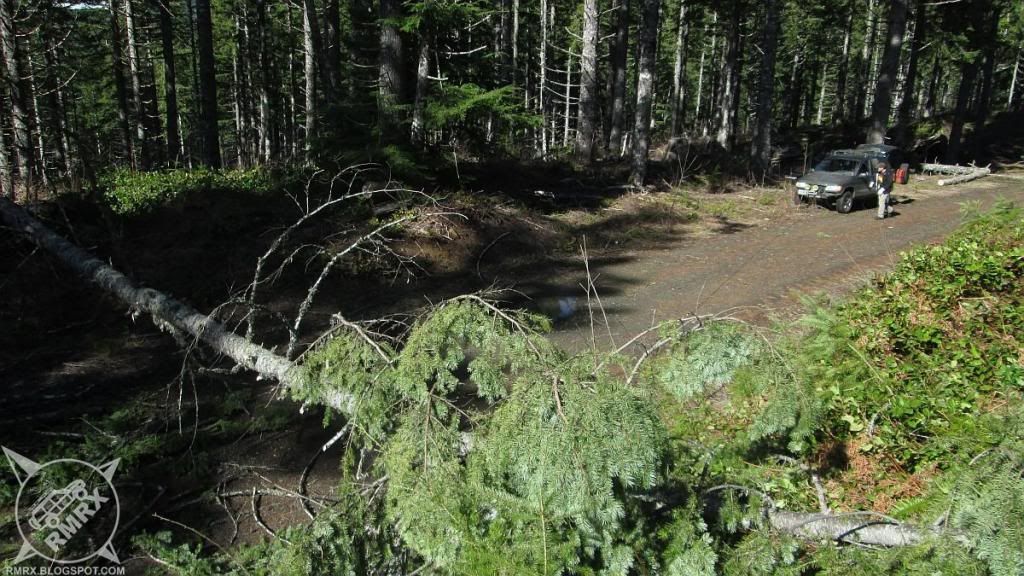
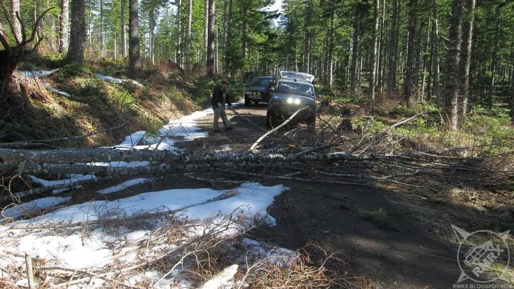
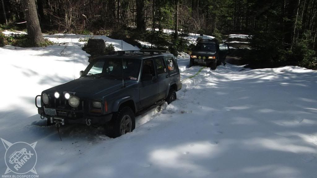
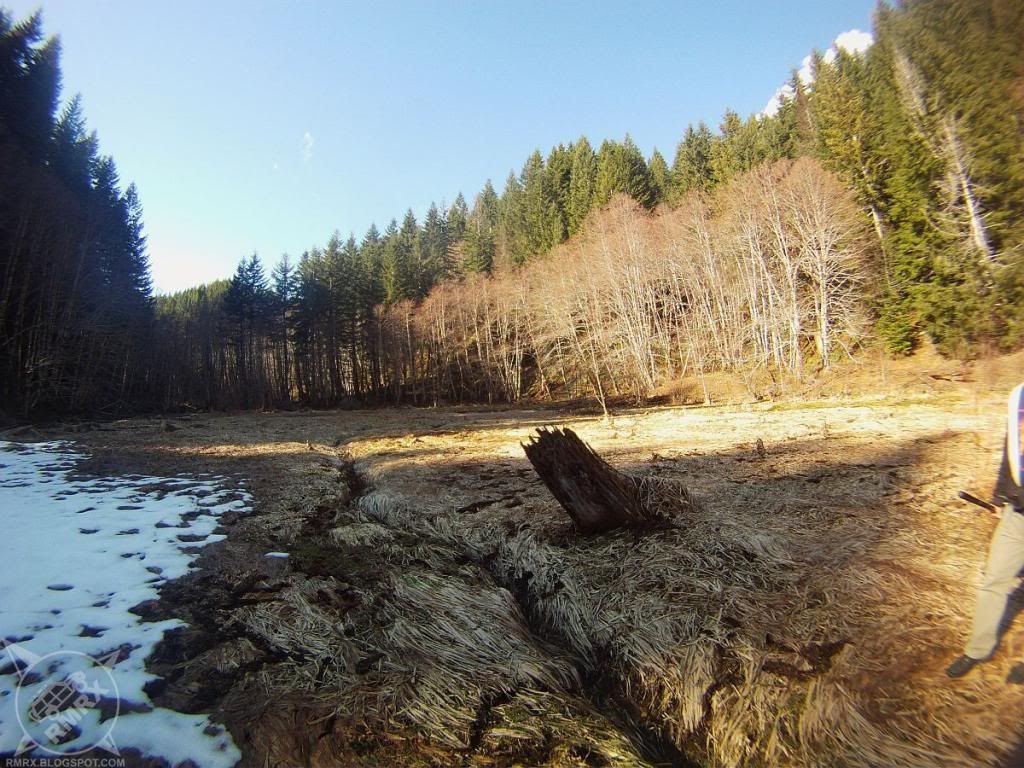
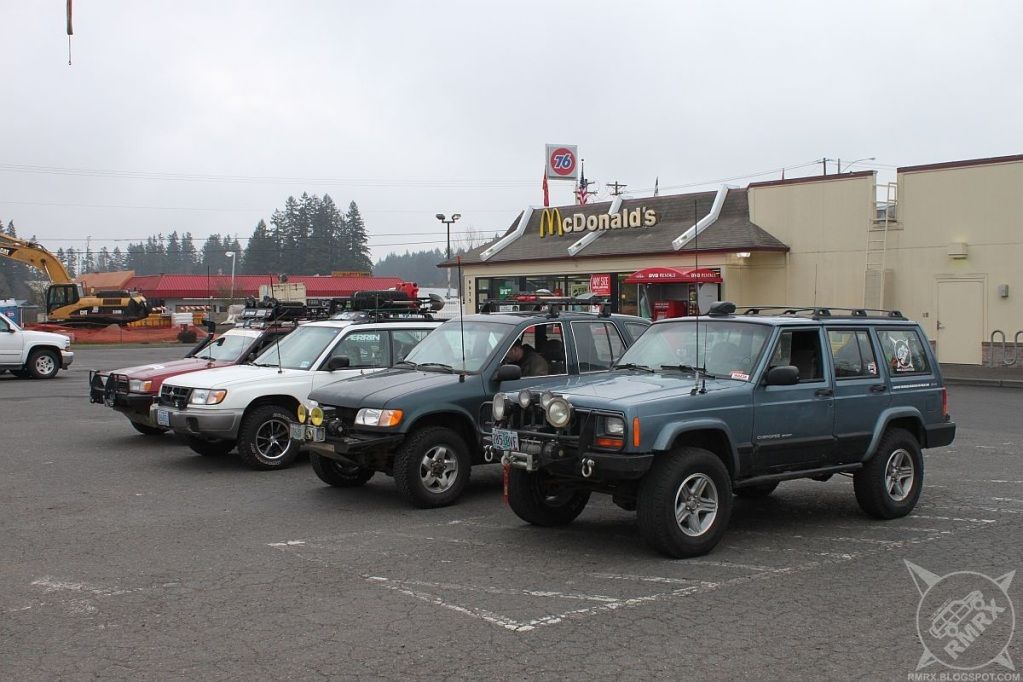
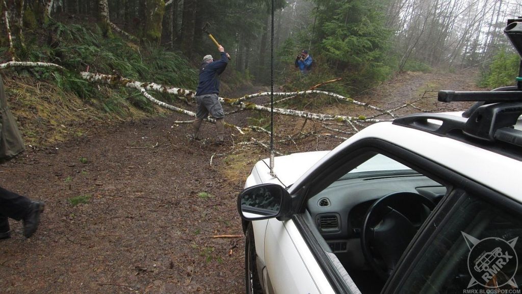
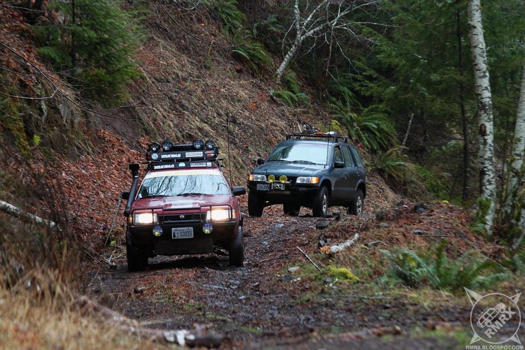
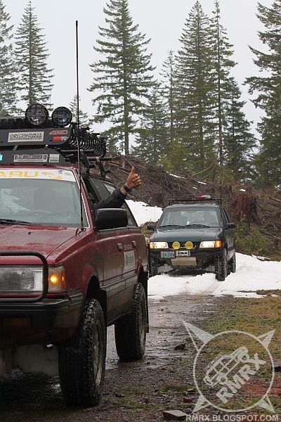
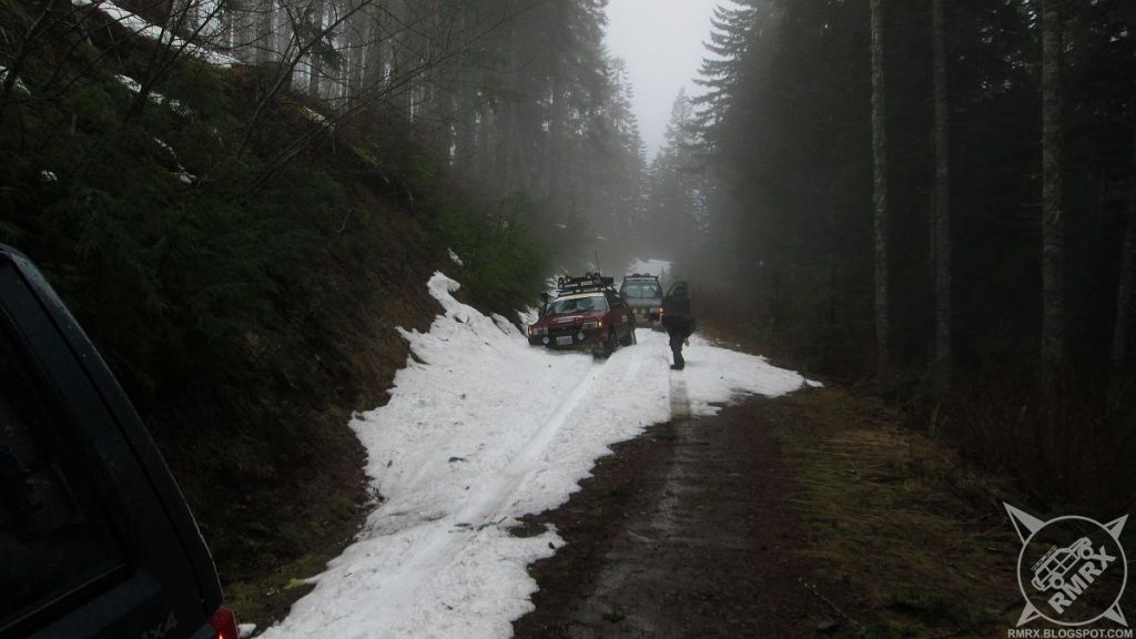
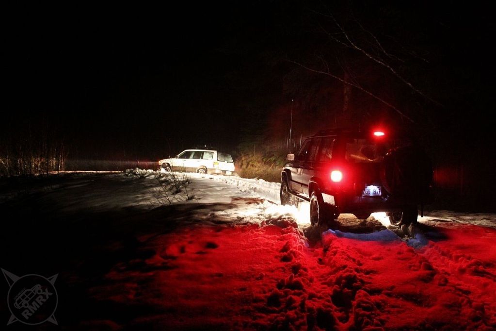
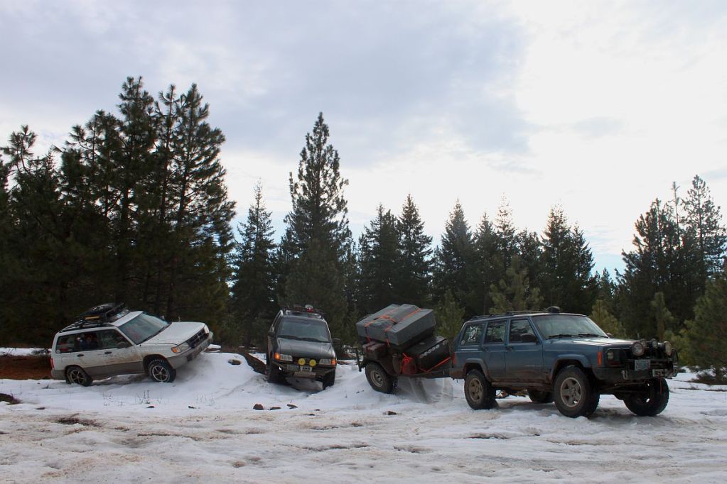
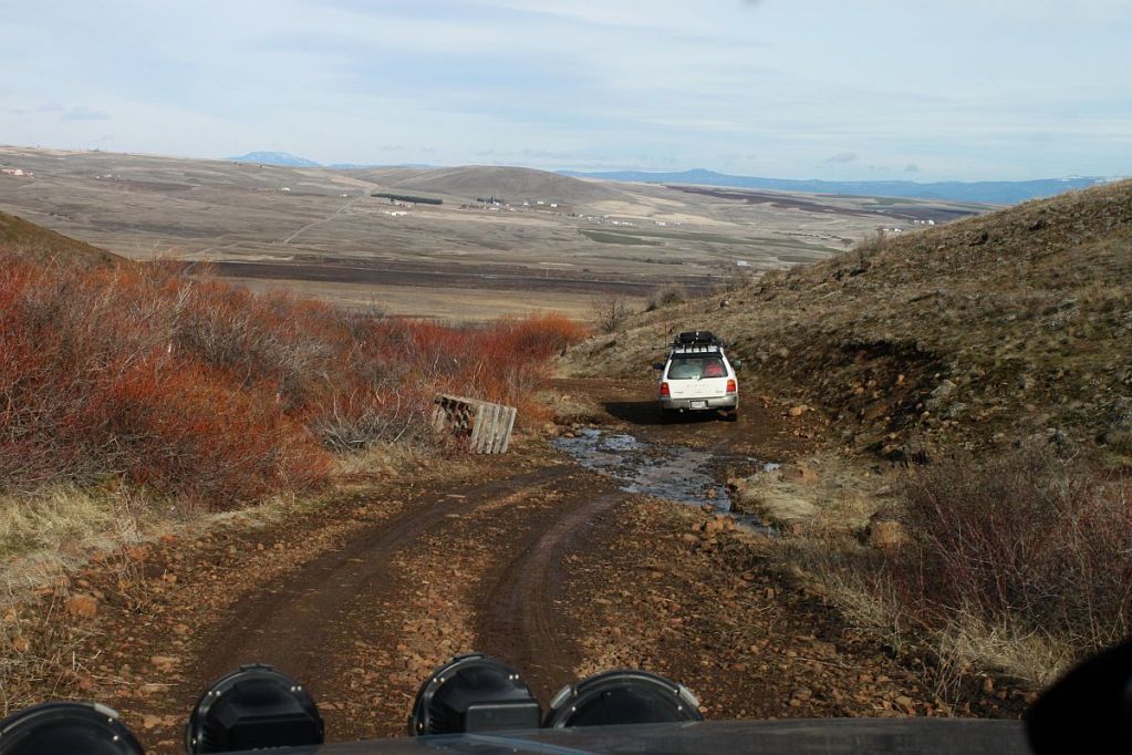
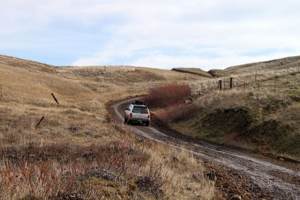
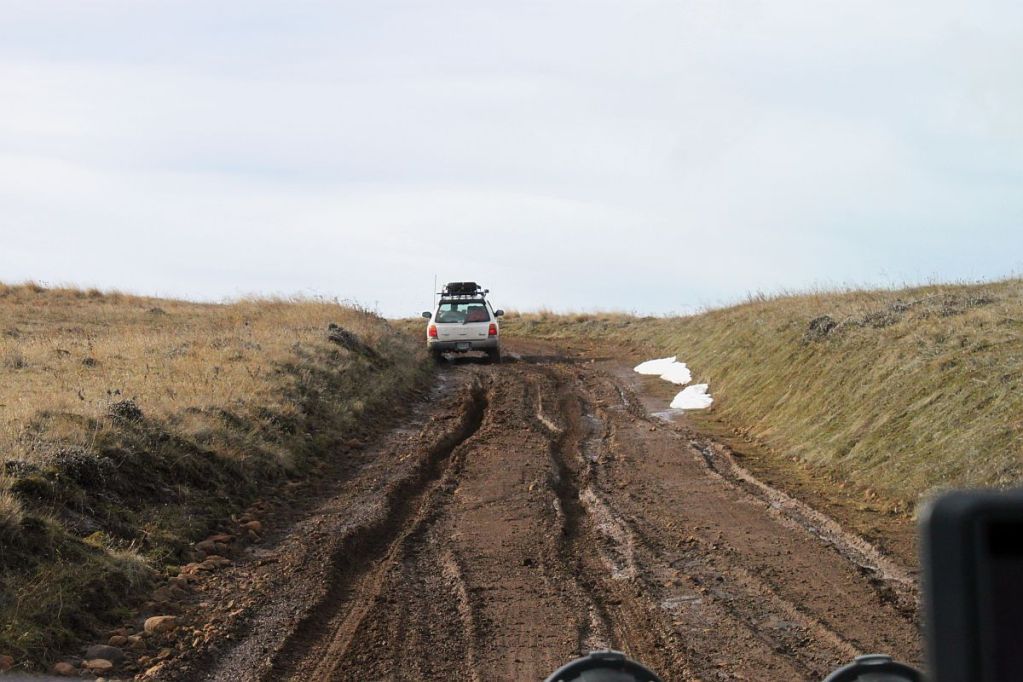
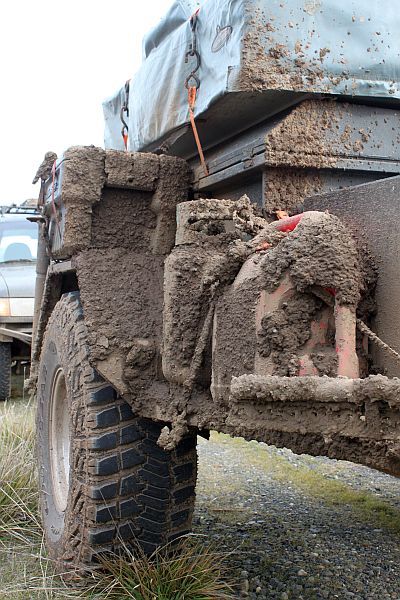
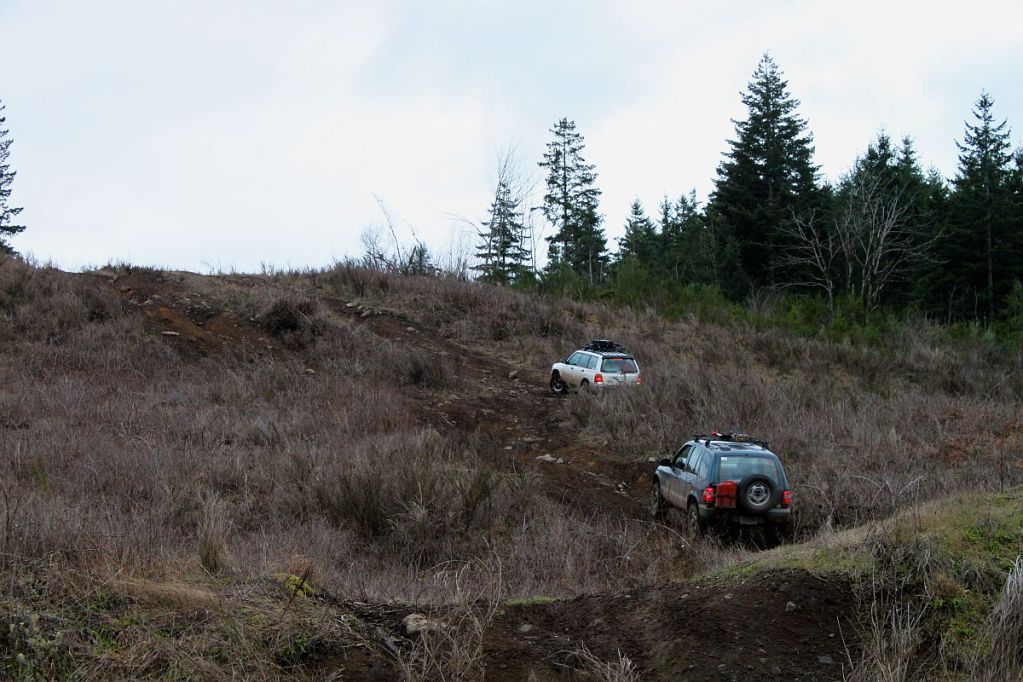
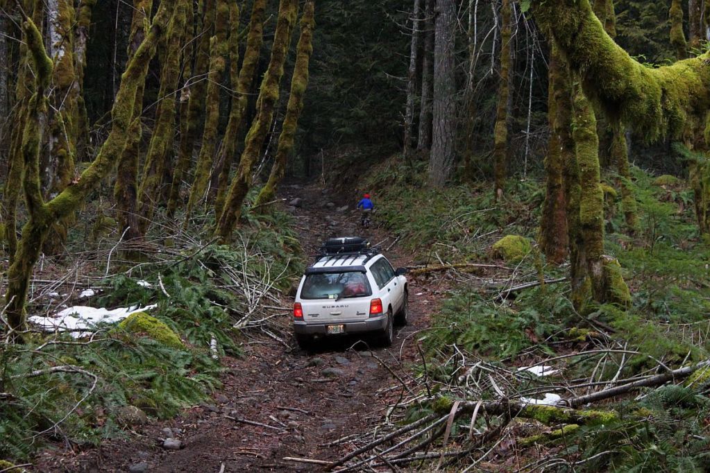
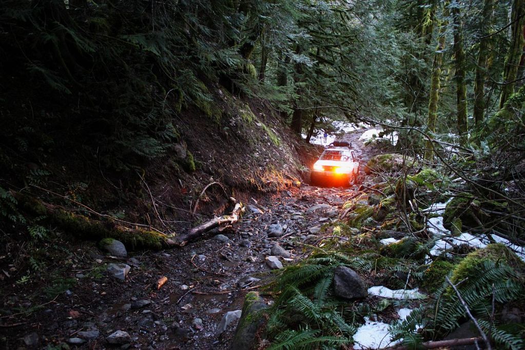
Right, so, I got a call from Jason a few days ago suggesting we find someplace to explore on Saturday. We quickly settled on find the old Douty Lumber Mill, near Timber, OR. We once again met up at McDonalds in North Plains and quickly hit the road. On the way up, we decided to see if we could get to the summit of Round Top. After busting through some untouched snow we came across two trees down blocking the road. I got out the chainsaw and Jason got out the winch accessories and in not time at all we had the road all clear. Of course we only made it another quarter mile before we found snow too deep to get through. I turned around and decided to put lunch on the "4.0 grill" and discovered I'd lost my power steering reservoir cap at some point. Fortunately for me, it was still in the engine bay so we put it back on (with zip ties) and headed down the hill. We tried taking Bell Camp road along the ridge to Standard Grade to drop down into Cochran but after logging another tree out of the road and driving over a fourth, we found snow that was too deep for us to get through.


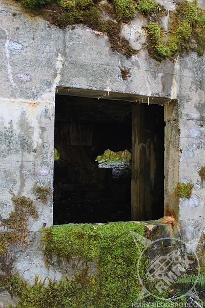
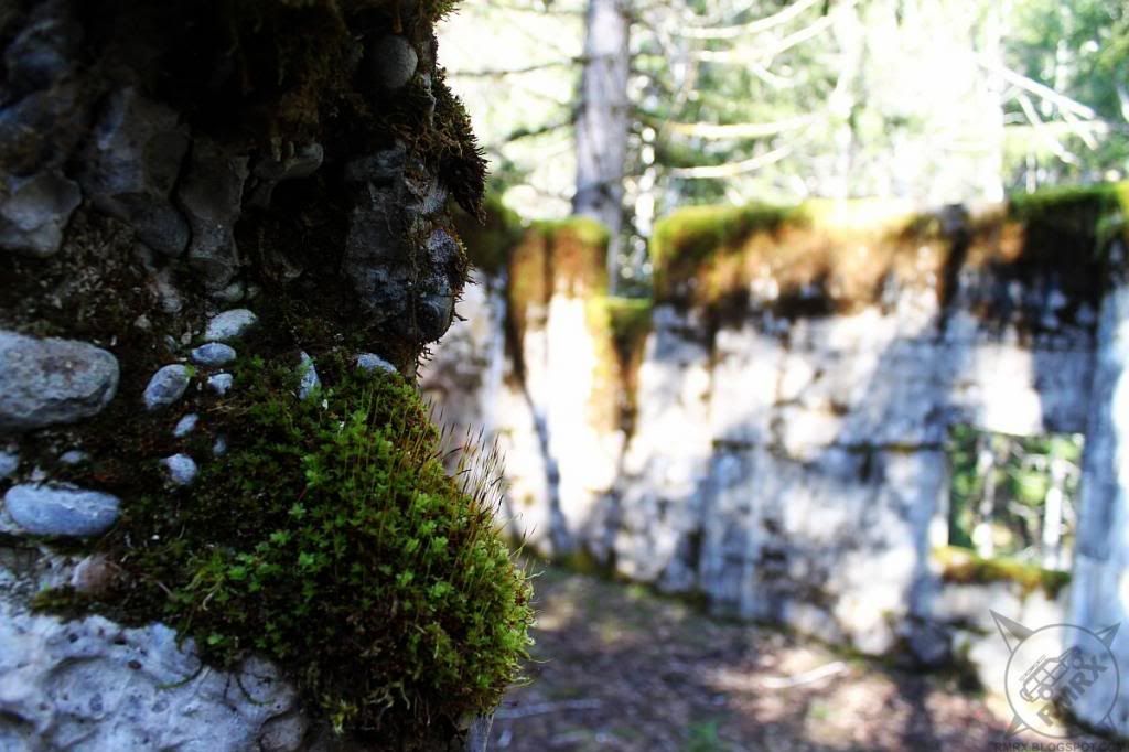
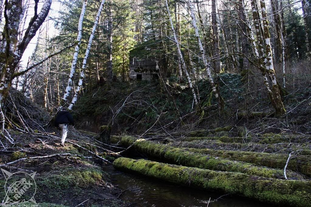
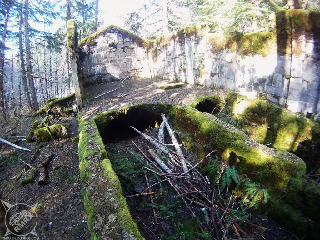
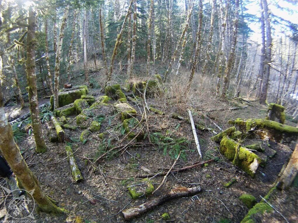
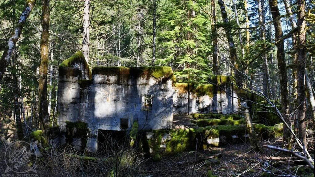
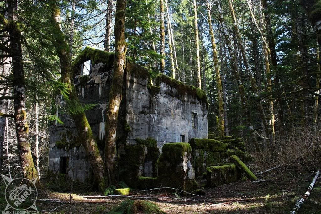
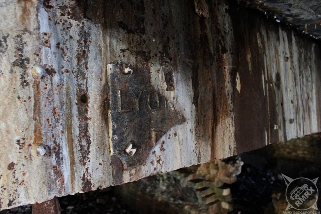
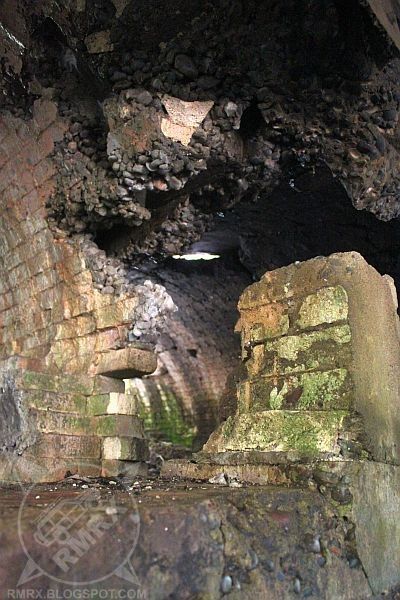
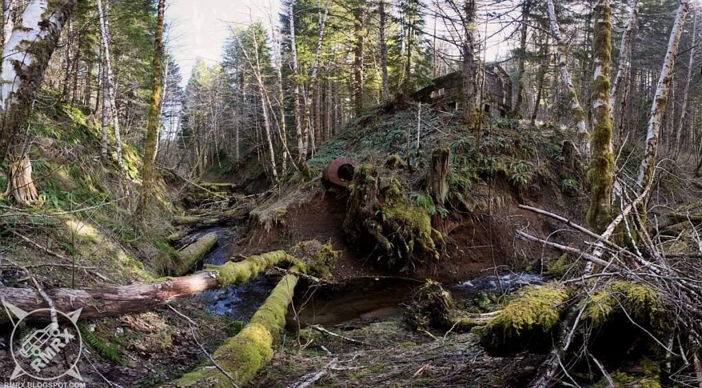
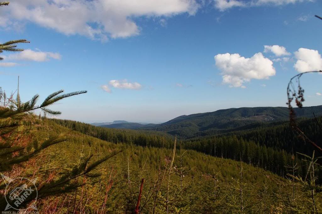
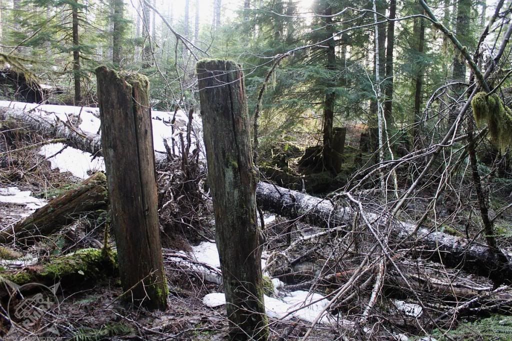
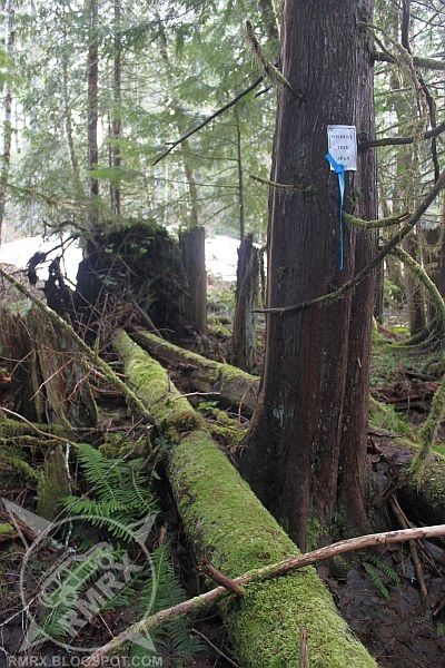
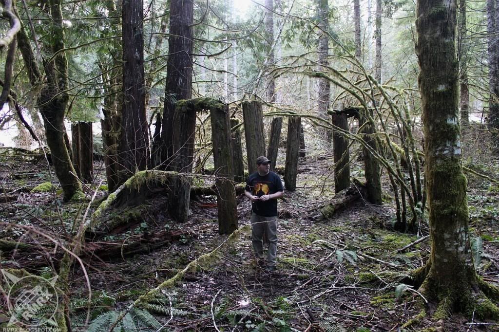
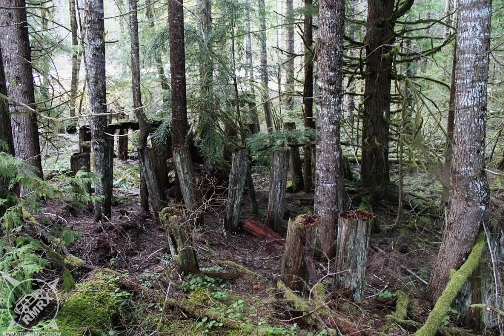
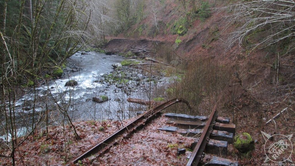
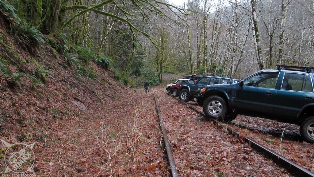
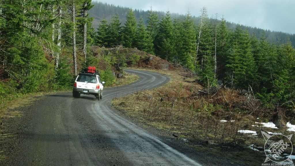
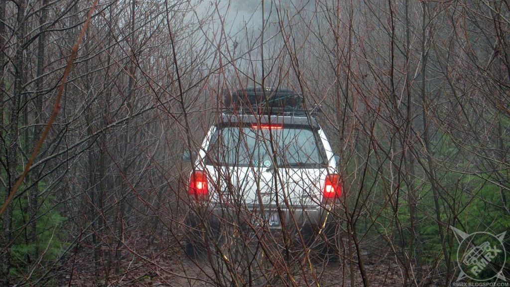
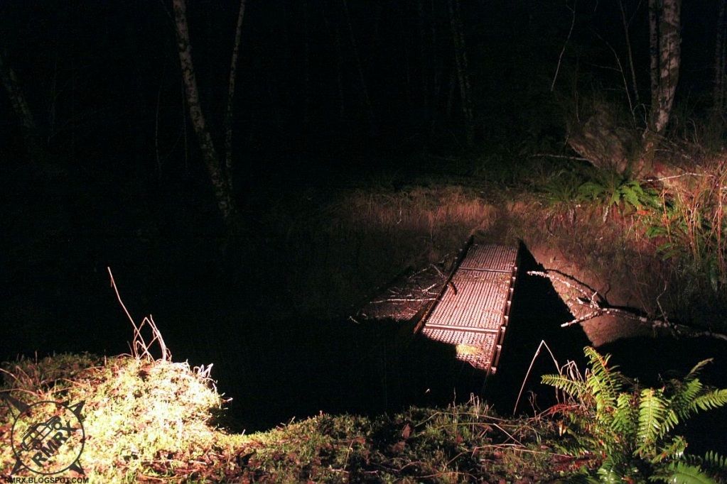
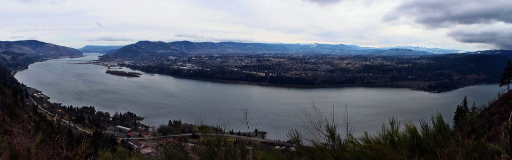
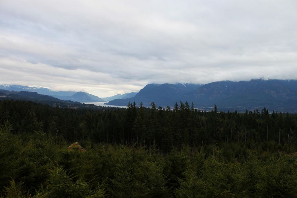
All the way back down to Cochran Road and we went the quick way into Cochran. We stopped by the pond for lunch then headed in search of the mill. I didn't have the exact location but was told we could drive just about to it. We tried several different logging roads before I finally found the right one. The mill is pretty awesome, I strongly encourage reading about it on Brian894x4.com as that is the BEST information I've found online. From the Mill, we started heading out but I wanted to check out a road I'd been denied by snow on a few months ago. Turns out, the road heads way up into the hills to Giveout Mountain. Okay, not exactly heading out of the woods but looking at the map, it showed we could get out by going around the north side and crossing the headwaters of the Salmonberry River and going out to highway 26. Some of the roads on the north side of the mountain were plowed, unfortunately, not the roads that headed north to the highway. However, while we were following Wheeler road, I spotted not one but two old railroad trestles off the side of the road. It appeared that a section of the road through there follows an old railroad grade, Wheeler Railroad from what I can tell. I'll have to go back and explore the grade when there isn't two feet of snow on the ground. From there, we followed roads that zig zagged around the mountains and eventually we got out to Timber road and headed back to the valley.

NOTE: I've removed the map showing how to get to the mill 
because of extensive vandalism that has occurred there. If
you are interested in finding directions to the mill, feel free to
send me an email and I will share directions privately.  -Ryan


Monday, February 18, 2013

Nehalem Adventure 2-16-13

Note: I've kinda struggled what to call this trip since I began planning it a few weeks ago. "Nehalem Adventure" is the the third name, I think I'll stick with it for now...

About a month ago, a friend of mine and I started a new, invitation only (for now) group, Northwest Expeditions. Our first official trip was planned for February 16th and the plan was to go from Falls City to Lincoln City via the Valsetz area. Unfortunately, a week and a half before the trip we found out that the gates for the logging lands were closed right now, making the trip impossible. As several of us were still looking forward to going on a trip, I put on my thinking cap and came up with another plan. Highway 26 to highway 6, while staying in the mountains, and using as little pavement as possible.

It ended up being Jason and Gregg again, along with Gregg's buddy Bryan, who drove up from Medford at 430am. We met at McDonalds in North Plains Saturday morning and headed west. I decided to show the group someplace I'd only been once before. We turned off hwy 26 onto Salmonberry Road and headed through the hills. Up and over Rock Creek Ridge before meandering over to Beaver Slide Road, which drops abruptly down 1300 feet in a mile to the Salmonberry River.

After walking through the tunnel and checking out the river, we turned around and headed back up the hill. Once we got on top, we stopped for lunch and I picked out an alternate route that would cut a few miles off our trip. Unfortunately, that route, Shields Road, climbed up higher than we'd been thus far, just high enough to get into some deeper snow. After punching through one snowfield at the highest point, the road climbed up to another saddle that wouldn't be as easy to make it through. We didn't want to waste too much time so we backtracked to Salmonberry Road and went around on another road that put us out on highway 26. After a few miles on the highway, we turned south onto Quartz Creek Mainline and, after stopping to find a Geocache and exploring a very overgrown road to the top of Flat Iron Mountain, we arrived at Bloom Lake.

After checking out the recent beaver damage, (fresh since I'd been there four weeks earlier) we headed over to Lost Lake. I replaced a bolt that fell from my trackbar bracket then headed into the woods to try finding a Geocache hidden there. That wasn't successful but I'll happily go back and try again in the summer. As it was getting dark, we had to make a decision. Head back for the highway or try to push through to highway 6. There was a Geocache up there that hadn't  been found yet and I sure do love to get a FTF so away from the highway we headed. We followed the Nehalem River for quite a while before heading up Cook Creek. The first road we tried started climbing until we started hitting patches of snow, finally turning around when we came upon a very long stretch of coast range cement (crappy snow made thick and unpleasant by rain) that averaged two feet deep. To top things off, it started snowing on us as we got turned around up there in the snow.

We tried another, lower road which ended up climbing until we got to another deep patch of impassable snow. As it was getting pretty late, after 8pm, we decided it was time to throw in the towel and head for the highway. We tried one more Geocache at the end of a road with a cool old Army bridge that was partially washed out but wandering around the woods in the rain was too much for us. We had to backtrack almost 30 miles to highway 26 then it was quite a long ways home. I was the closest and didn't get home until 12:30am and was so exhausted, I headed straight for bed.

It was a fun trip, though it would've been nice to get through where we were trying to go. Just another reason to head back up there once the snow melts.


Nehalem Adventure

Tuesday, February 5, 2013

The Slab Febuary 2nd, 2013

A few weeks ago, an invitation was posted by Eastern Washington Adventures to come up to an area near Zillah, Washington known as The Slab. During the snow camping trip a few weeks earlier, I'd talked to Jason and Gregg about going to this run so when it came up I was definitely in. The plan was to camp at a place that they'd stayed at a few times in the past, known affectionately as Camp Cowpie, near Goldendale, Washington. They headed up Friday morning but I had to work Friday so with coordinates in hand, I headed east after work in search of camp. After missing the turn off into camp and finding a gate blocking the road I got the fun experience of backing my trailer uphill in the dark in the snow, it was a real adventure. After walking the road into camp to make sure it was the right one, I finally got into camp and setup, then spent the rest of the evening by the fire.

Following a very cold breakfast, it was 20 degrees when we woke up, we decided to pack up camp just to be safe and headed for Zillah. We met the very large group at the staging area, aired down and rolled out. The Slab doesn't cover a lot of ground, only a few hundred acres but it is tightly packed with trails that zig zag all over the hillsides. I elected to tow the trailer so I could get an idea of what I was capable of doing with it attached. We headed first for an area known as Flex Canyon, a tight canyon with some rock formations that pitches your rig toward the other side of the canyon. The nice thing about The Slab is that there is a bypass or viewing area for everything, so I never once had to get my trailer in danger. From Flex Canyon, we made our way around the area, hitting up several play areas including one known as Rollover Hill. I avoided most of the hard trails but still found some fun stuff to do with my Jeep and trailer.

After the wheeling fun was done, Jason, Gregg and I swung through Toppenish to hit up a grocery store and gas station before heading back over Satus Pass, through Goldendale and back to Camp Cowpie. Sunday morning, we decided to go over Dalles Mountain and drop down to hwy 97 near The Dalles. We explored some muddy side roads along the way, then stopped at Horsethief Butte to explore some of the petroglyphs. We continued west, checking out a few areas that will need some more exploring in the future and found a great campsite near Stevenson. We'll have to go back in that area when the roads are a bit drier and I don't have the trailer, as it proved to be a bit of a hindrance on some of the roads.


Slab Track at EveryTrail
EveryTrail - Find the best Hiking near Yakima, Washington


These pictures can also be viewed on Facebook, along with other photos I uploaded during the trip at Facebook.com/RMRX.blogspot