Tuesday, September 1, 2009

A journey to the Alvord Desert July 9th-13th 2009 (part V)

This is the fifth and final posting of a five part series on a trip I took with the Pacific Northwest Adventure Group

Monday morning. More like mourning. What a sad day. A return to civilization. Not something I was looking forward to. Though I still had several hundreds of miles of driving to do, I wasn't ready. First off, we headed up and over the hills to a old fire lookout tower, now being rented out by vacationers. Fortunately, when we got there, the current renters were just leaving and allowed us to go up and take a look. Somehow, I neglected to take a picture of the tower.

Photobucket

We didn't stay long since we had quite a bit of driving to do. Even skinny little Keegan could barely fit through the opening for the stairs

Photobucket

Near Long Creek, we stopped to check out an old ranch and a truck parked there that was nearly as old.

Photobucket

In the small town of Fox, we stopped to take pictures of the old church. While it looked good on the outside, a peek in the window made it clear that the church hadn't been used in a while

Photobucket

Photobucket

From there, we hopped back on the highway and made a beeline for Pendleton. After visiting at my Mom's for a bit, Keegan and I hit the road for home. Almost immediately, we noticed a smokey look in the sky. A few miles west of Pendleton, we found a 3500+ acre brush fire, which we watched for a while before heading home.

Brush Fire Slideshow


This was definitely one of the most amazing trips I've been on. It really got me thinking, I enjoy traveling in my jeep so much. Everything else I do is just to pass the time until I get to go exploring again. While chatting with some of the,,, more experienced folks on the trip, who were envious of my young age, I realized I need to take advantage of my lack of real commitments and travel.
My tentative plan is to take a year or so to equip myself and my Jeep to the proper level, then hit the road, traveling around the country taking in the sights and, hopefully, writing about it. Its a bit of a fantasy right now but I think there is no better time for me to do it than now.
I also want to apologize for taking so long to make a blog posting, I've been quite busy with life but hopefully I'll get more opportunities to do some blogging on some small day trips I've taken lately.
-Ryan

A journey to the Alvord Desert July 9th-13th 2009 (part IV)

This is the fourth of a five part series on a trip I took with the Pacific Northwest Adventure Group

Sunday morning we awoke knowing we'd be heading toward home. Mom really wanted to check out Alvord Hot Spring, a few miles north of our campsite. So, after packing up camp, we headed up there. Through the morning, several thunderstorms had passed through the area, though fortunately for us, mostly on the east side of the desert, allowing us to watch on without getting much rain.

Photobucket

From the hot springs, we could actually see two separate cells coming north.

Photobucket

From there we headed almost directly across the road and up an old mining road. We found an old cabin up there which had clearly seen better days.

Photobucket

Photobucket

We were able to find the remnants of an old tram, used to get the gold from the mine down to the area of the cabin. You can't tell but I'm looking nearly straight up in this picture.

Photobucket

While checking out the base of the Tram area, we could see another storm coming up the valley.

Photobucket

And a view back toward the mountain behind us, somewhere above is the old mine.

Photobucket

We quickly hopped back in the truck as we got hit by a heavy downpour which actually made the road pretty treacherous, especially in that big truck. But just as quickly, the sun came back out, as can be seen as we crossed a creek headed back down to the main road.

Photobucket

On the way down to Fields, we slowed for a picture of the old school at Andrews, all of which appears to be privately owned now.

Photobucket

Finally, we were in Fields, prepared to eat a famous Fields Burger! Here, Sandy is taking an order as our burgers sizzle away on the grill behind her.

Photobucket

Man, what a delicious burger!

Photobucket

We crossed back over to Catlow Valley and headed north, prepared to hear further west, through the Hart Mountain Antelope Refuge. First we had to pull over and check out some massive thunderclouds towering over Steens Mountain. In less than five minutes, we saw at least 10 flashes of lightning.

Photobucket

After an uneventful drive through the refuge, we dropped down toward Plush, where we saw this old house, with Hart Mountain towering overhead

Photobucket

After passing through Plush, we headed southwest, into the Fremont National Forest where we turned west, coming out on hwy 395 north of Lakeview. We turned north, passing Lake Abert and the Abert Rim, several thousand feet higher than the valley.

Photobucket

We stopped at a small rest area a few miles north of there. A rest area that was totally desolate. The only sounds were the occasional passing semi and the wind rattling a sign. Though there was nothing there and not much of a view, I for some reason found comfort in the area and would happily return.

Photobucket

We then continued north, passing through several stretches of road without a single curve for ten or more miles

Photobucket

That night we returned to the same area we'd camped at the first night south of John Day, though we chose this time to camp in an established campground. We were the only ones there, though some time during the night, an RV showed up and set up camp.

Monday, July 20, 2009

A journey to the Alvord Desert July 9th-13th 2009 (part III)

This is the third of a five part series on a trip I took with the Pacific Northwest Adventure Group

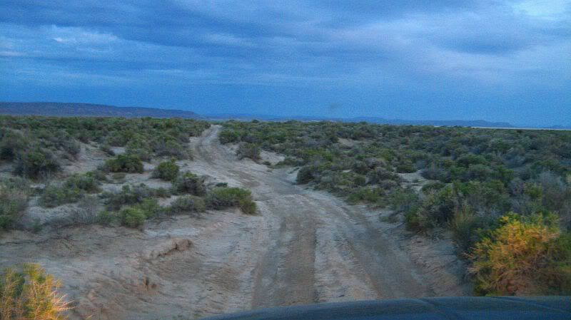
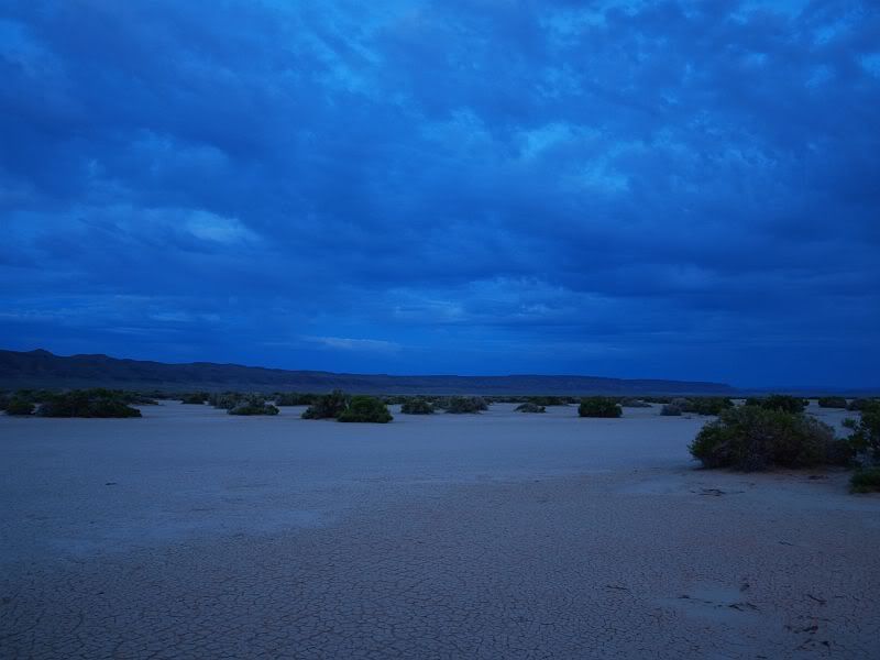
I woke early the next morning hoping to watch the sunrise. Clouds had moved in since the previous afternoon, blocking the sunrise for the most part. I instead spent my time wandering around the desert, enjoying my solitude.

Photobucket

Photobucket

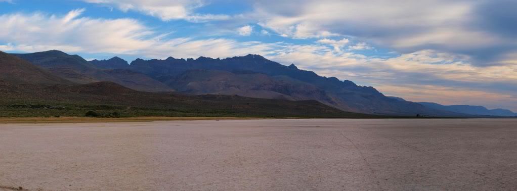
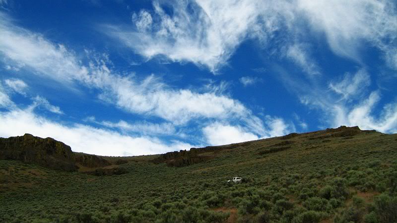
Out on the desert floor, I had a descent view of Steens Mountain rising above our camp.

Photobucket

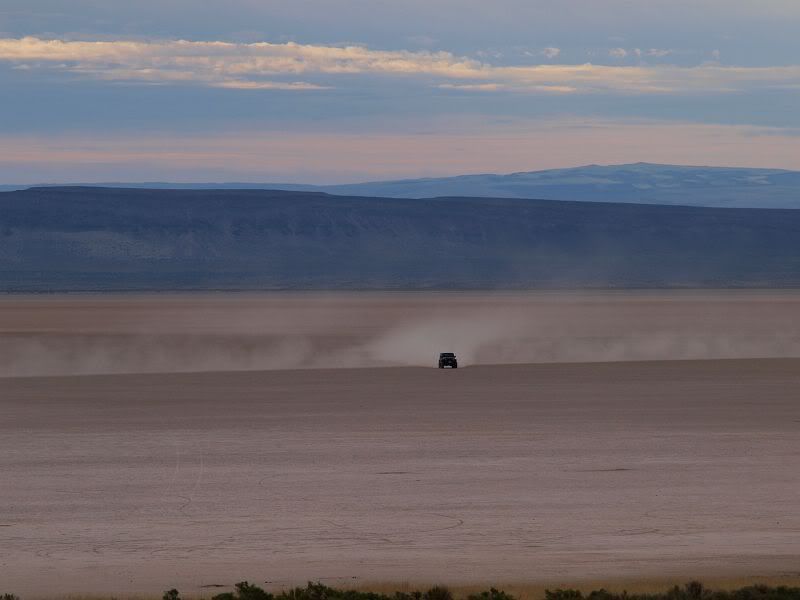
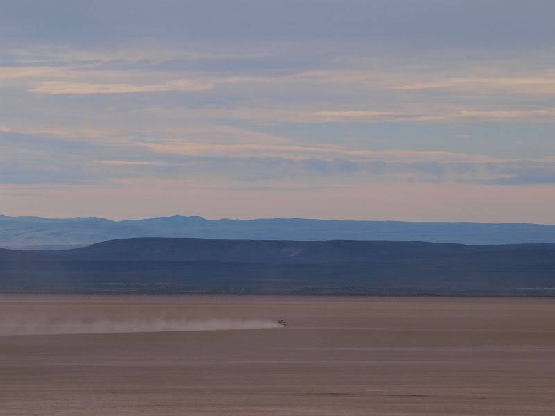
After the others from our group woke up, a few headed for the desert floor.
Rod

Photobucket

James and Ben

Photobucket

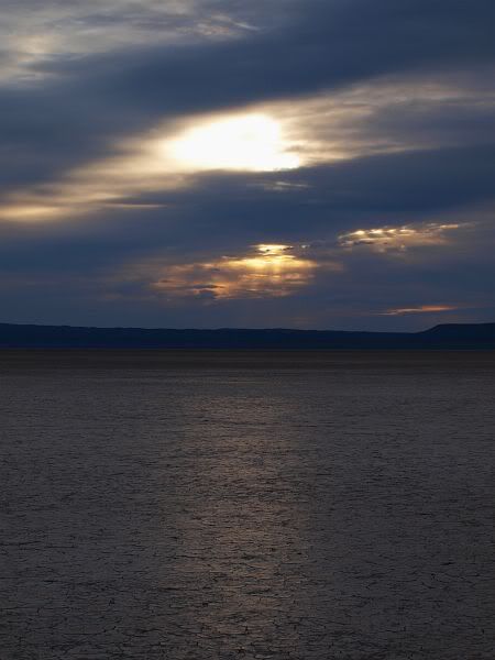
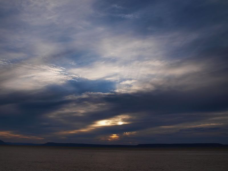
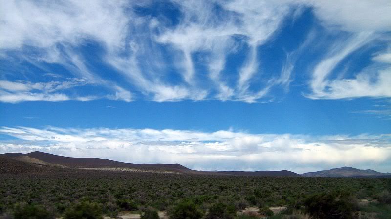
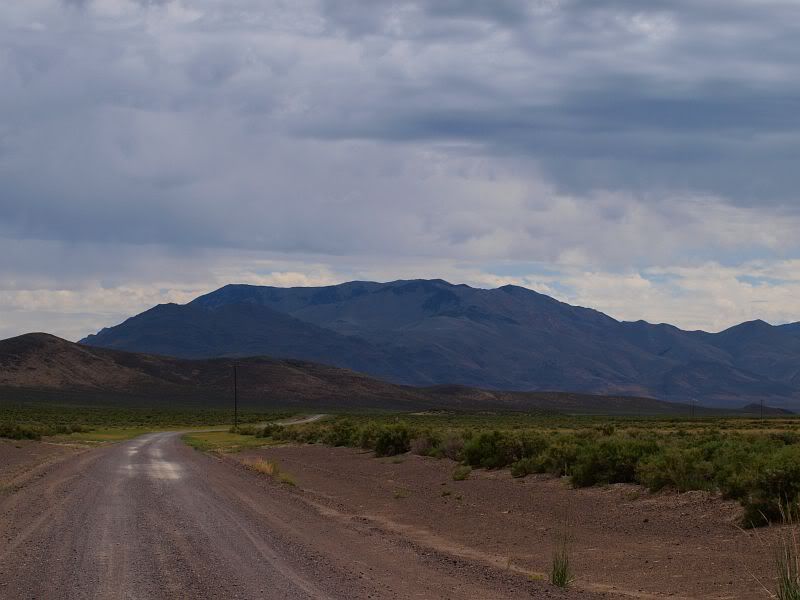
From camp, we headed down to the Fields store for fuel. After sitting around chatting for a while and enjoying a delicious milkshake, we decided to head out with Mick and his wife Joey, along with Richard and Jan and their granddaughter Tara. Our plan for the day was to drive to Propeller Meadow, the site of a bomber crash in the 1940's. The clouds that morning were pretty nice.

Photobucket

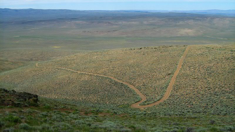
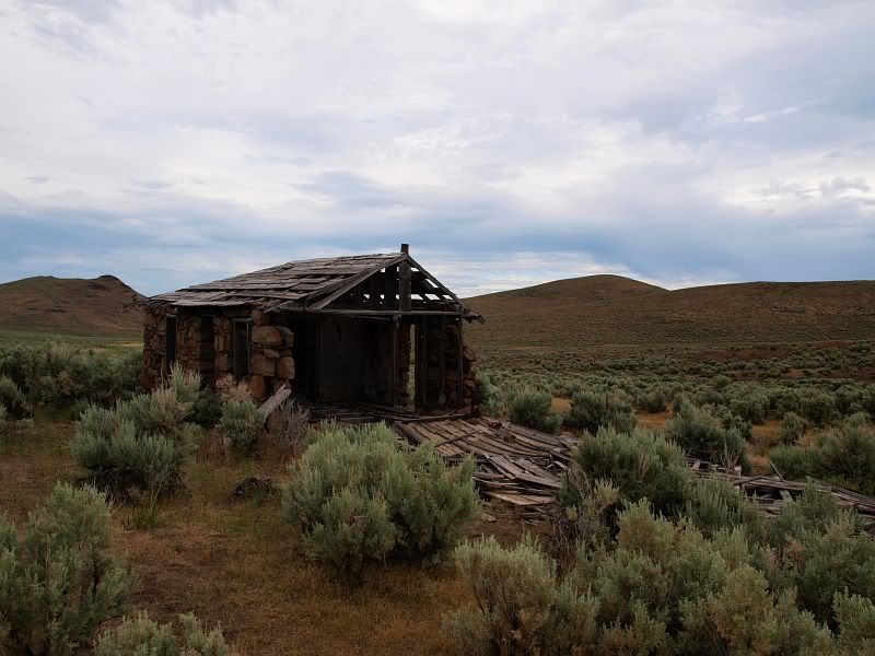
We chose to make a quick side trip to check out an old stone house. Somehow we missed to so we decided to follow the road up over Domingo Pass. Looking up hill, you can see Mick following the switchbacks up the hill.

Photobucket

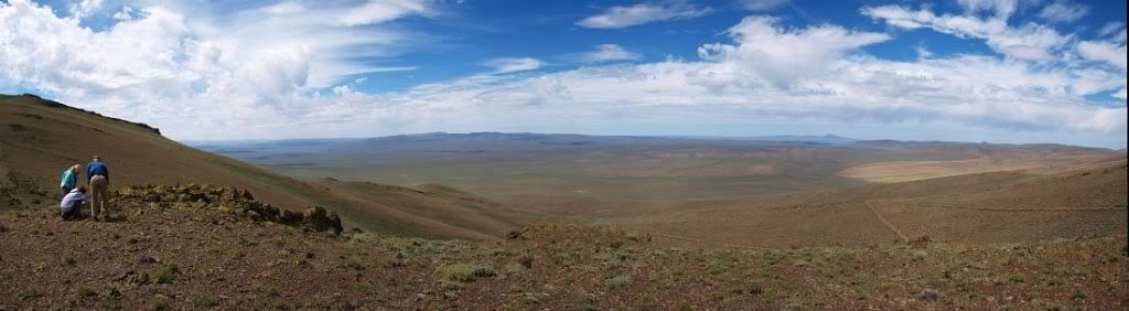
From the top, we could see off into the distance. Down there somewhere is the stone house.

Photobucket

Once we crossed over the pass, we zigzaged back down the other side of the hill into Rincon Valley.

Photobucket

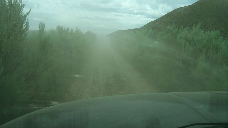
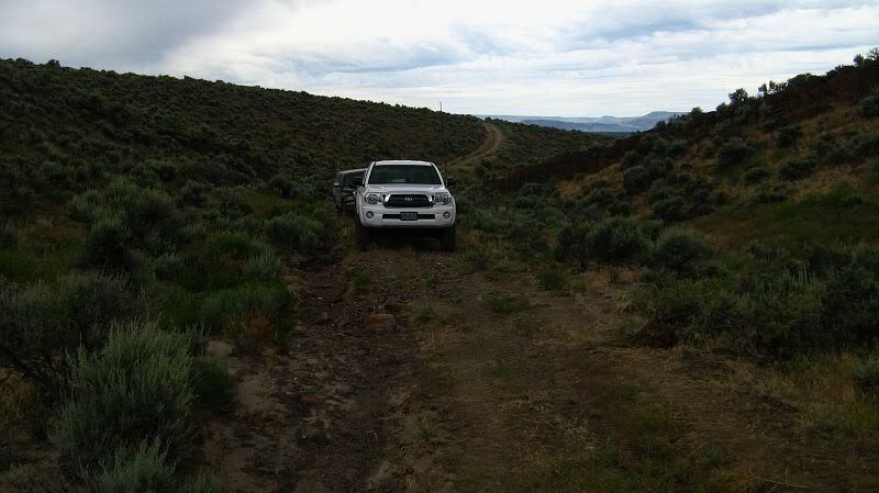
Down in the valley, we headed south, hoping to be able to circle around and come into Propeller Meadow. The road went through several low-lying areas that, in the wetter times of the year, obviously were quite moist. Those area's tended to be a bit dusty, as was this one, which also had sagebrush taller than our truck!

Photobucket

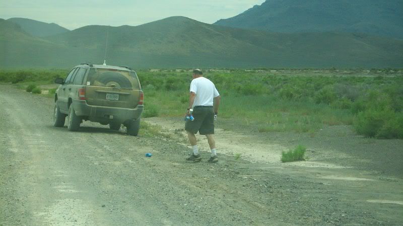
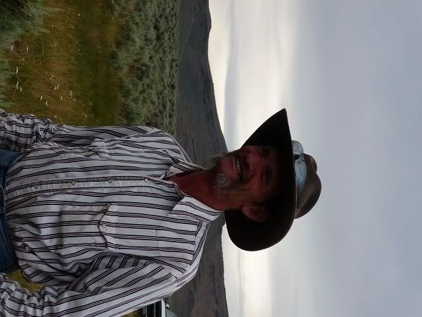
We noticed a number of beer cans along the road, most of which were picked up by Mick and Joey but these ones were picked up by Richard. There was actually more than he could even carry, so he kicked one along in front of him

Photobucket

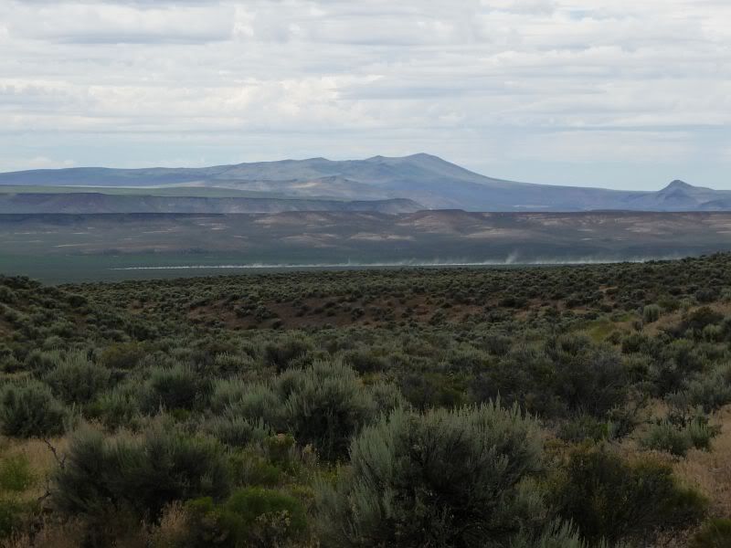
Shortly after crossing into Nevada, we could see Blacks Mountain off in the distance

Photobucket

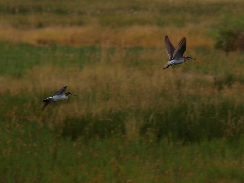
We stopped for lunch and Mick, Keegan and I walked over to an old ranch thinking there were some hot springs. We didn't find the hot springs but we did see some wildlife including these birds flying around near some small ponds.

Photobucket

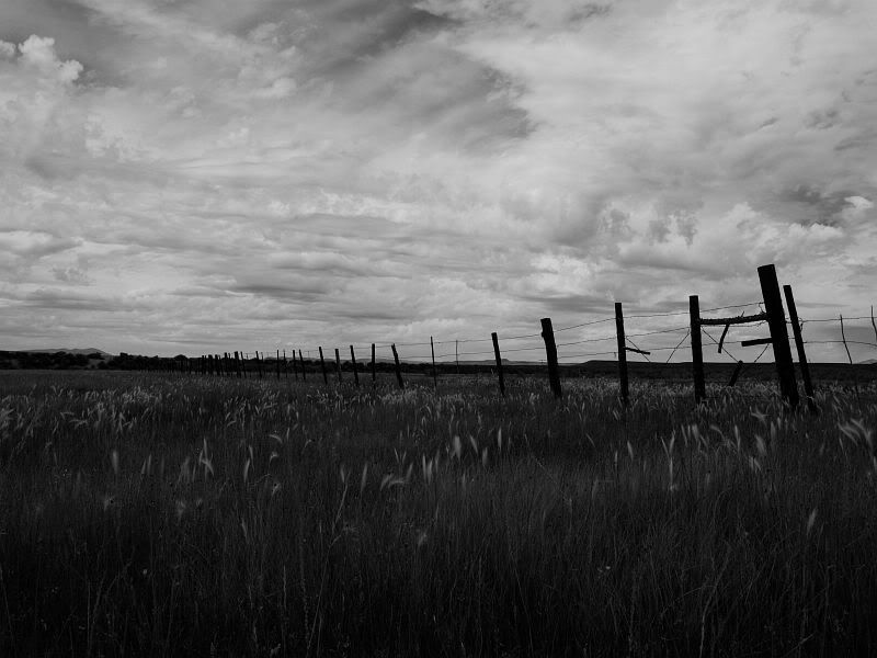
This old fence surrounded the ranch, its been a while since anybody has been around here though.

Photobucket

From there, we headed on a road due north hoping to get up where we wanted. Unfortunately, after a mile or so, the road became increasingly washed out to the point where we decided to turn around. Big thanks to Joey for spotting us as we got turned around. Later, Matt was able to get up in his fully locked Land Cruiser/Lexus and reported back that there was NO WAY we would've been able to get up.

Photobucket

As we were headed back down the hill, we could see several of the group cruising along the valley we'd been in a short time earlier.

Photobucket

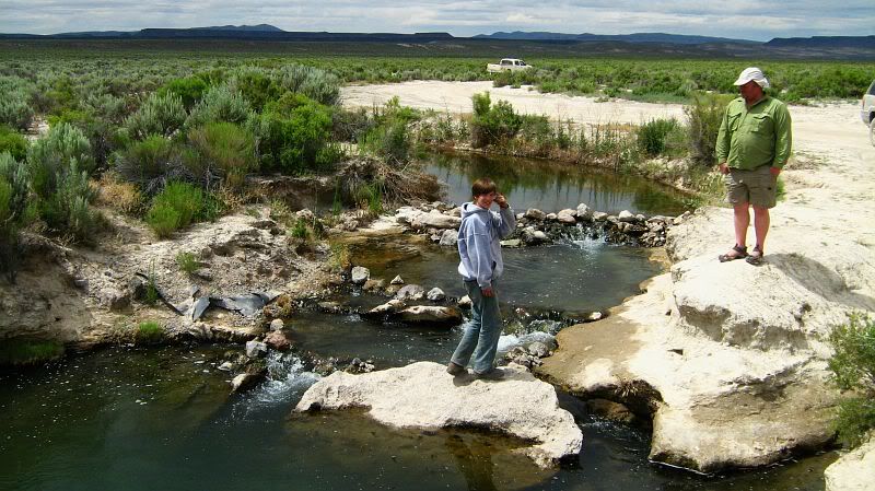
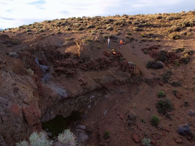
We met up with them at Bog Hot Springs, the springs Mick and I had been trying to find earlier. The water was pretty warm and would've been awful nice during a cooler time of year.

Photobucket

From there, Mick, Richard and I headed South to Denio Junction where we stopped to eat. After our meal, we turned back north, hoping to once again head in towards the crash sight. Unfortunately, the roads never panned out as we crossed back into Oregon.

Photobucket

We decided to try again at accessing the rock house. This time, I lead the way and chose the route less traveled which lead us into a pasture, where we parked and walked across to the house.

Photobucket

Photobucket

While we were stopped, we watched a pickup approach us. Turned out to be a local property over, from the Oregon End Table Ranch, across on the other side of Domingo Pass. His name was Jay Hughes and you could tell he was a very interesting guy. We talked to him for a bit before we headed on our way. Its always great to meet somebody like Mr. Hughes...

Photobucket

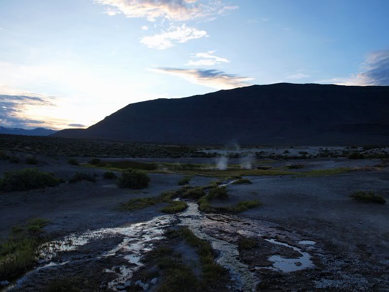
We headed back to Fields where we greeted some of our trip mates, who it appeared had not moved all day, just sat in front of the store and chatted... Mom, Keegan and I hopped back in the truck with the goal of visiting Mickey Hot Springs, northwest of the Alvord. On our way north, I spotted a draw opposite from the Alvord so we hiked up into to explore a bit.

Photobucket

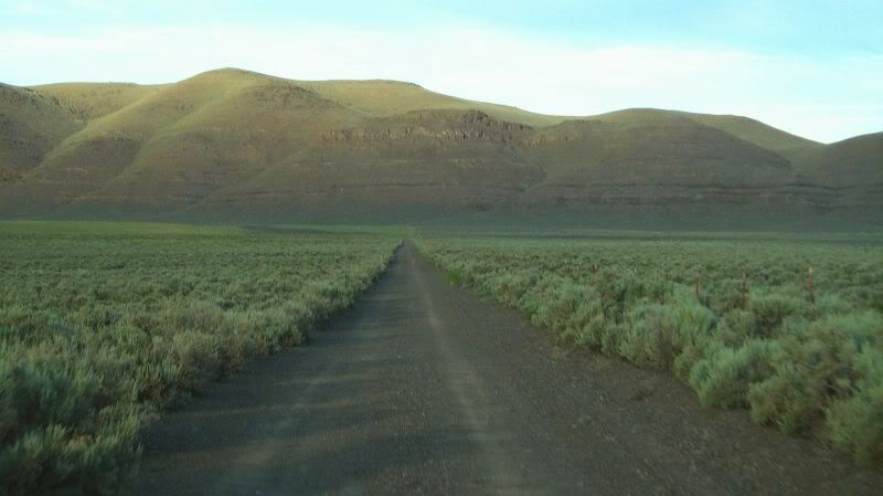
The road to the hot springs cut straight across the valley north of the Alvord before turning and skirting the south side of a ridge that extended miles north.

Photobucket

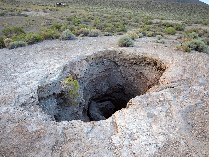
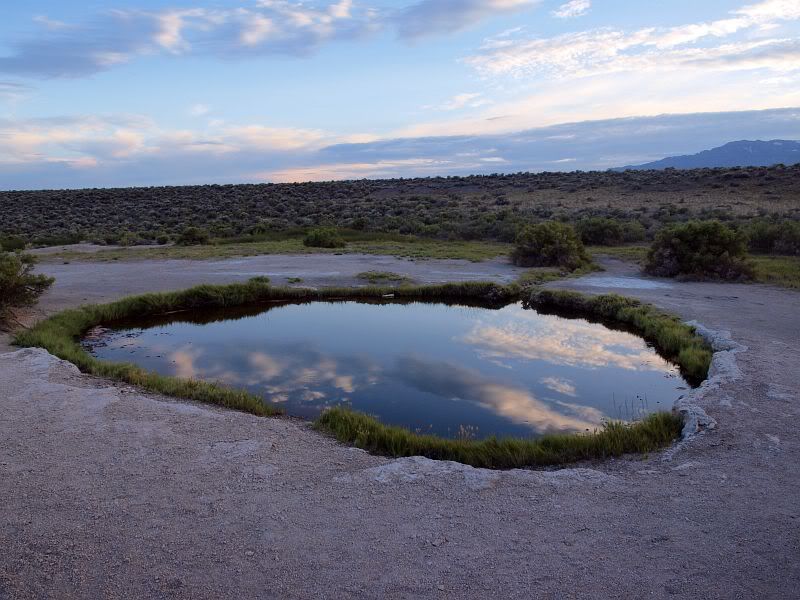
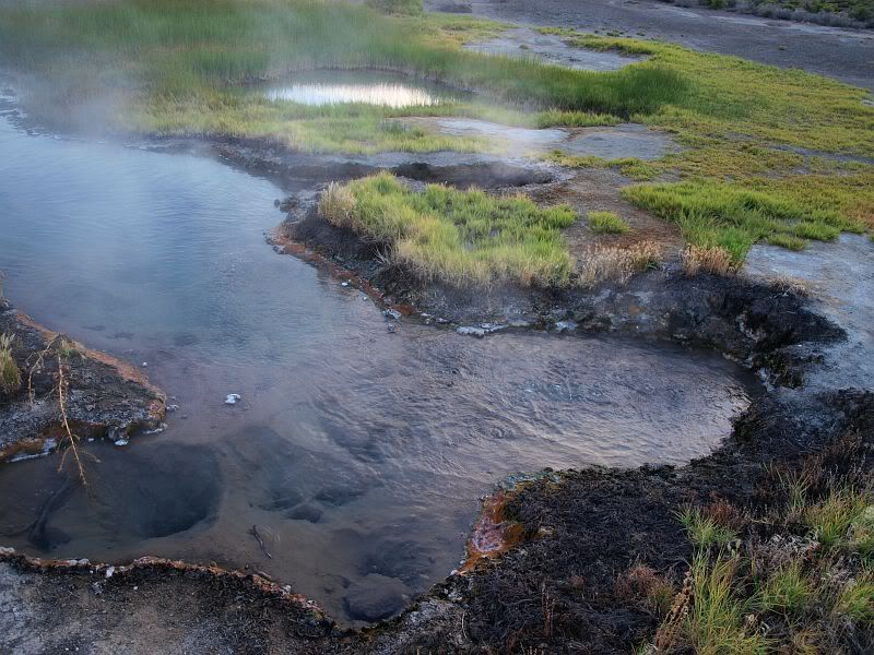
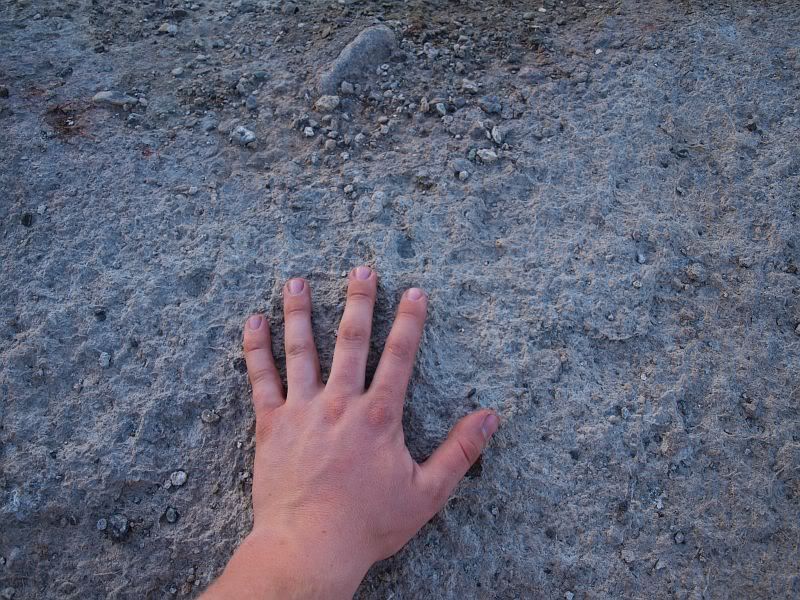
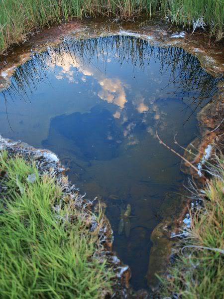
Describing Mickey Hot Springs is somewhat difficult. It was nearly dead silent there. Just about the only sound there was the bubbling of water in a few of the pools as well as underground. For the most part, the pools were absolutely calm, no motion at all. In some areas, the ground was almost hot to the touch, definitely heat radiating from below. Such an amazing place, though the water was too hot to even touch in most pools.

Photobucket

Photobucket

Photobucket

Photobucket

Photobucket

Photobucket

We then headed back to camp but, of course, we couldn't take the same roads back. We dropped down to the very northern end of the desert and headed cross country back, allowing my GPS to guide us to camp.

Photobucket

Photobucket