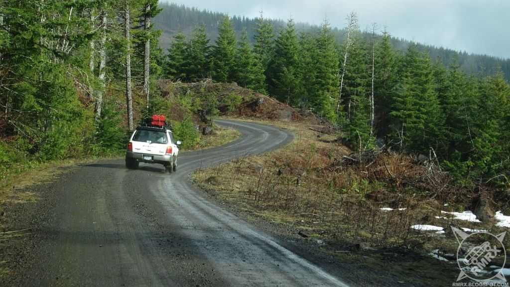
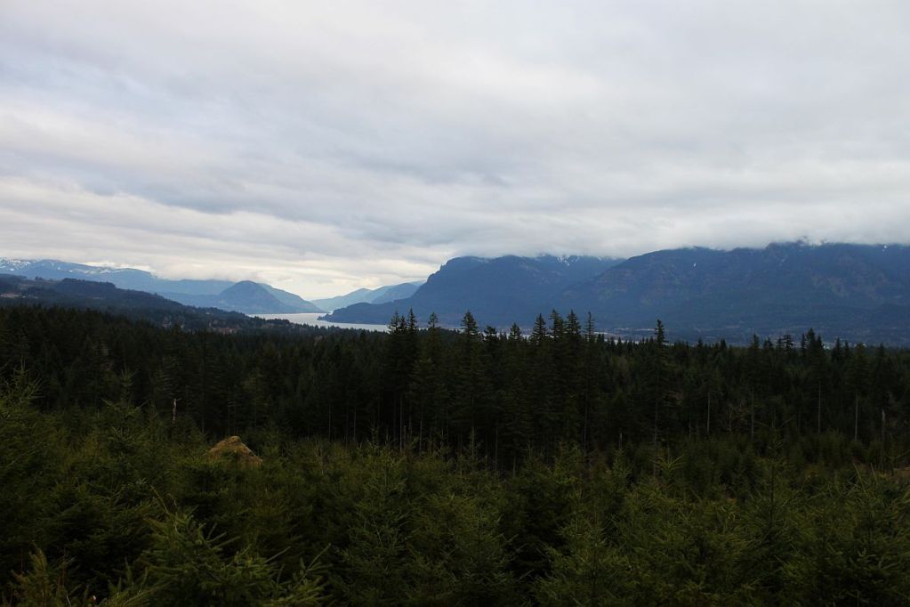
About a month ago, a friend of mine and I started a new, invitation only (for now) group, Northwest Expeditions. Our first official trip was planned for February 16th and the plan was to go from Falls City to Lincoln City via the Valsetz area. Unfortunately, a week and a half before the trip we found out that the gates for the logging lands were closed right now, making the trip impossible. As several of us were still looking forward to going on a trip, I put on my thinking cap and came up with another plan. Highway 26 to highway 6, while staying in the mountains, and using as little pavement as possible.
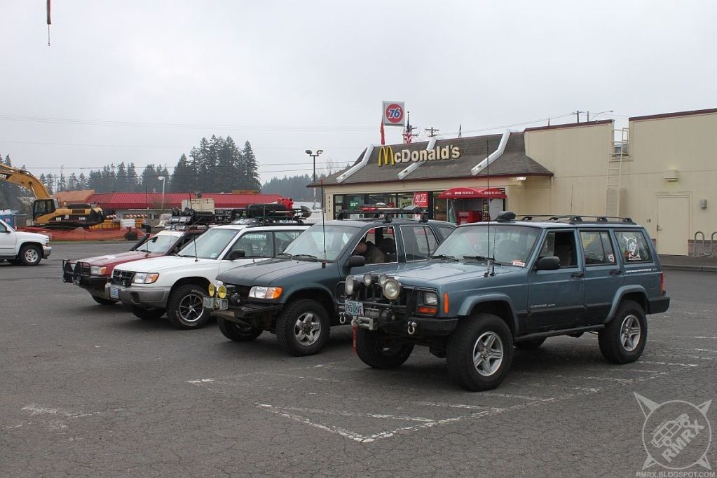
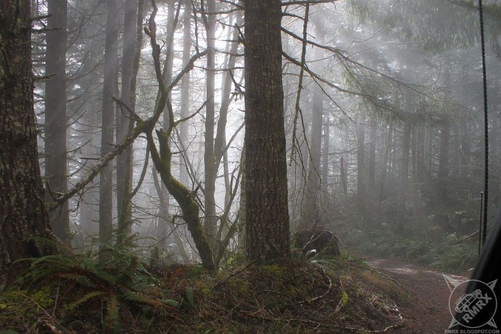
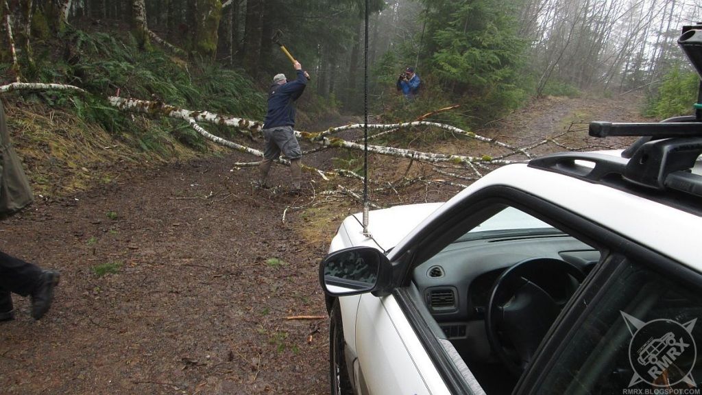
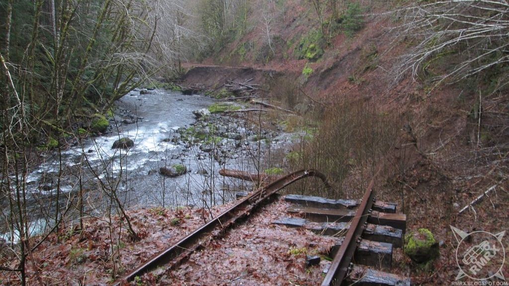
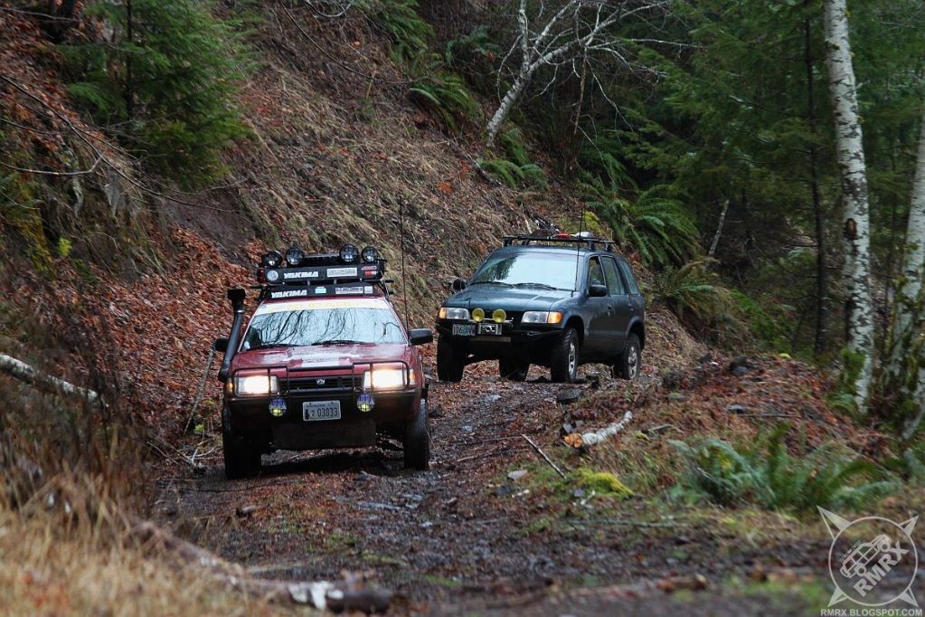
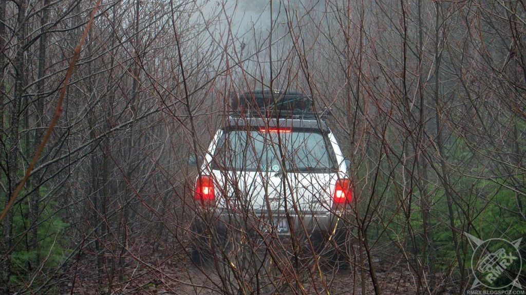
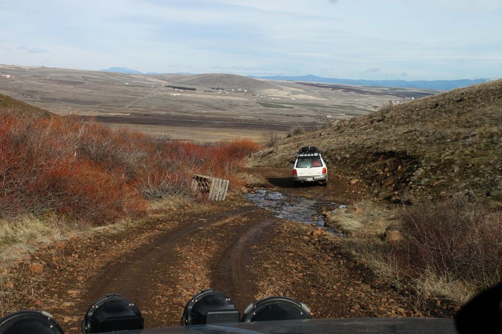
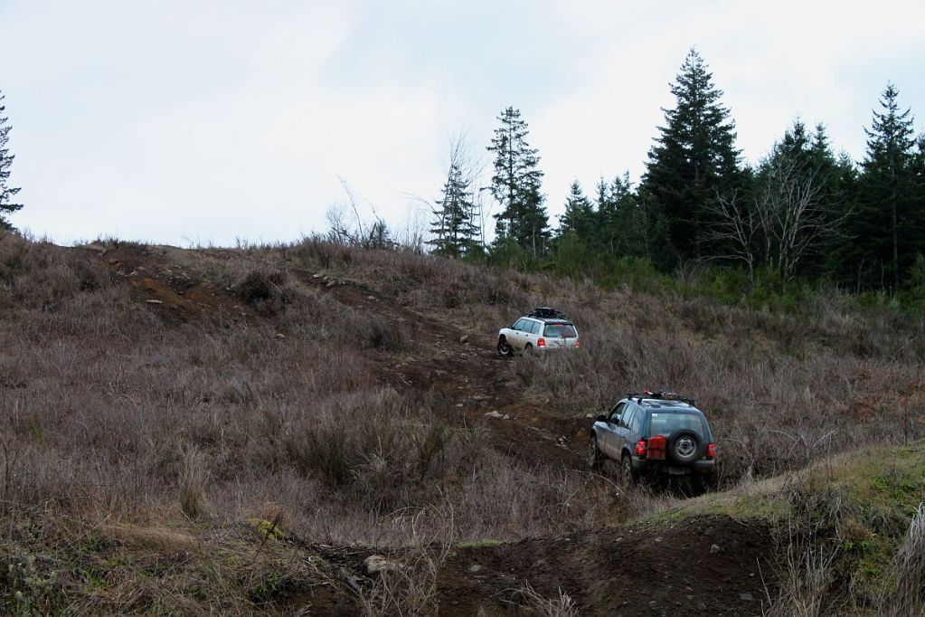
It ended up being Jason and Gregg again, along with Gregg's buddy Bryan, who drove up from Medford at 430am. We met at McDonalds in North Plains Saturday morning and headed west. I decided to show the group someplace I'd only been once before. We turned off hwy 26 onto Salmonberry Road and headed through the hills. Up and over Rock Creek Ridge before meandering over to Beaver Slide Road, which drops abruptly down 1300 feet in a mile to the Salmonberry River.
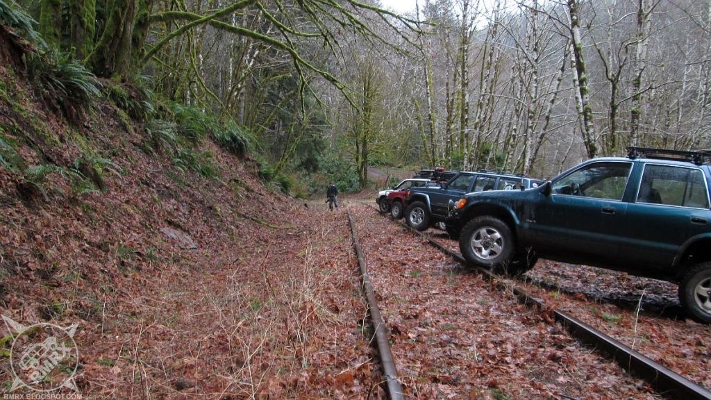
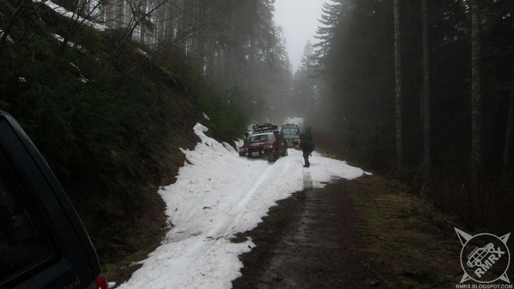
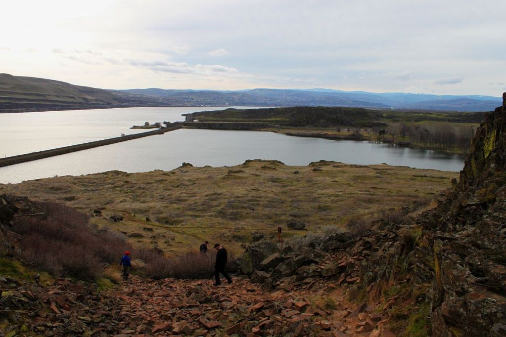
After walking through the tunnel and checking out the river, we turned around and headed back up the hill. Once we got on top, we stopped for lunch and I picked out an alternate route that would cut a few miles off our trip. Unfortunately, that route, Shields Road, climbed up higher than we'd been thus far, just high enough to get into some deeper snow. After punching through one snowfield at the highest point, the road climbed up to another saddle that wouldn't be as easy to make it through. We didn't want to waste too much time so we backtracked to Salmonberry Road and went around on another road that put us out on highway 26. After a few miles on the highway, we turned south onto Quartz Creek Mainline and, after stopping to find a Geocache and exploring a very overgrown road to the top of Flat Iron Mountain, we arrived at Bloom Lake.
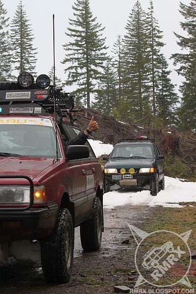
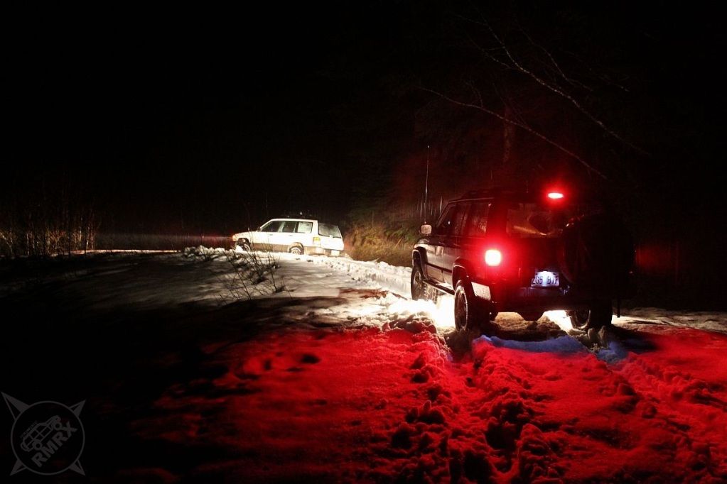
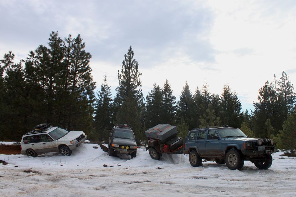
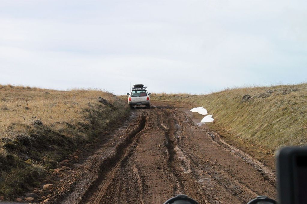
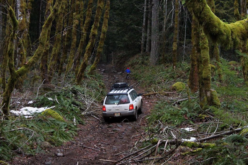
After checking out the recent beaver damage, (fresh since I'd been there four weeks earlier) we headed over to Lost Lake. I replaced a bolt that fell from my trackbar bracket then headed into the woods to try finding a Geocache hidden there. That wasn't successful but I'll happily go back and try again in the summer. As it was getting dark, we had to make a decision. Head back for the highway or try to push through to highway 6. There was a Geocache up there that hadn't been found yet and I sure do love to get a FTF so away from the highway we headed. We followed the Nehalem River for quite a while before heading up Cook Creek. The first road we tried started climbing until we started hitting patches of snow, finally turning around when we came upon a very long stretch of coast range cement (crappy snow made thick and unpleasant by rain) that averaged two feet deep. To top things off, it started snowing on us as we got turned around up there in the snow.
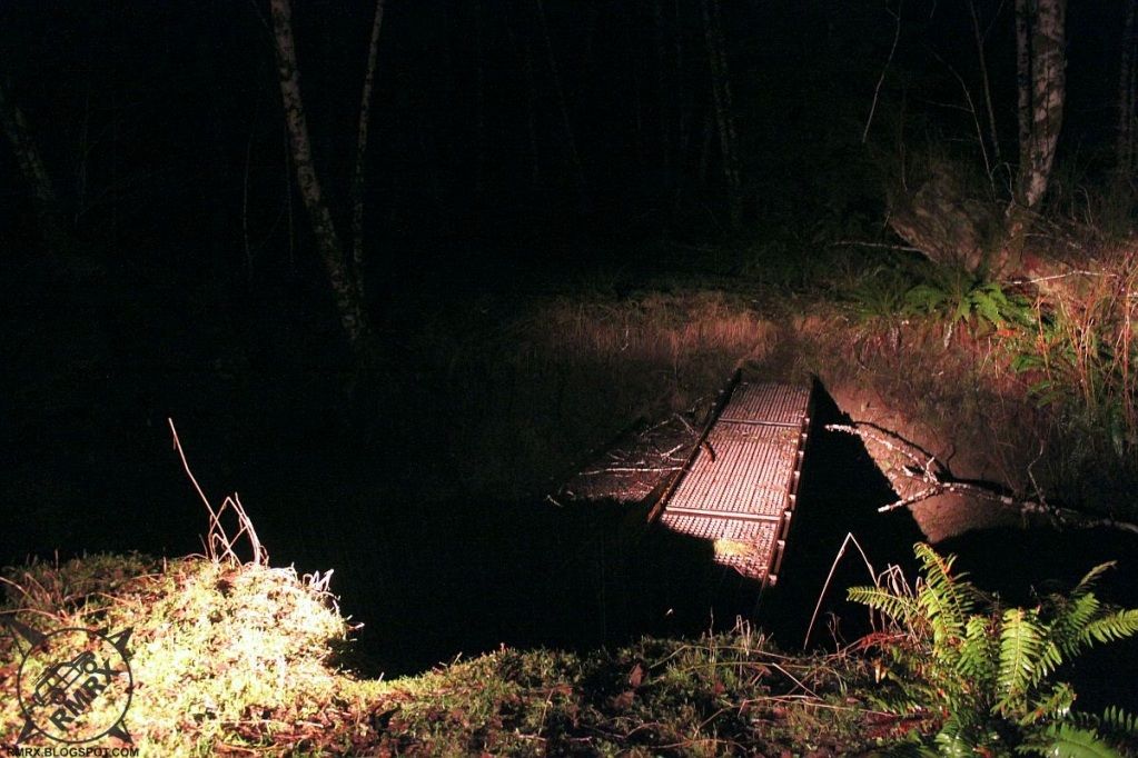
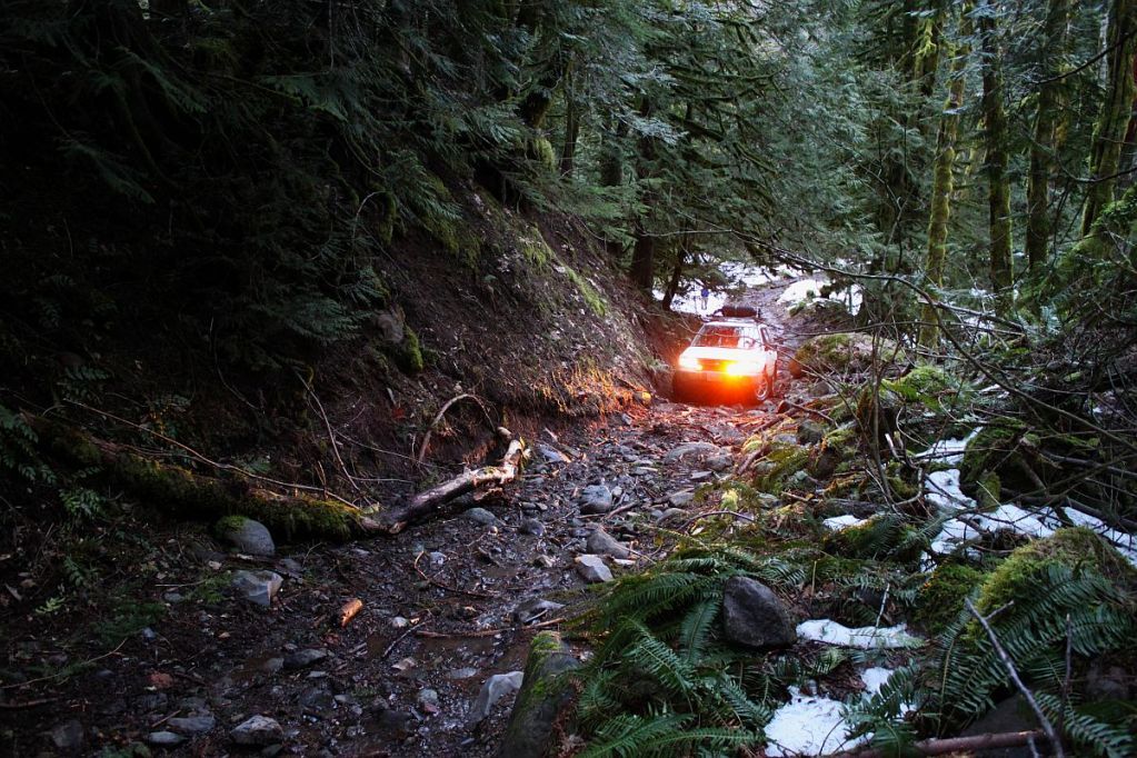
We tried another, lower road which ended up climbing until we got to another deep patch of impassable snow. As it was getting pretty late, after 8pm, we decided it was time to throw in the towel and head for the highway. We tried one more Geocache at the end of a road with a cool old Army bridge that was partially washed out but wandering around the woods in the rain was too much for us. We had to backtrack almost 30 miles to highway 26 then it was quite a long ways home. I was the closest and didn't get home until 12:30am and was so exhausted, I headed straight for bed.
It was a fun trip, though it would've been nice to get through where we were trying to go. Just another reason to head back up there once the snow melts.