The morning of the trip, I headed out for the meeting point at the Molalla Thriftway. On a whim, I decided to go across the Canby Ferry and it turned out to be a great idea because it was a very nice, if somewhat cold morning out on the river.

After standing around in the parking lot for a while, chatting about recent upgrades to our vehicles among other things, we headed out. After stopping just after we left pavement to air down for comfort, we continued out our way till we got to Rhody Lake, where we let the dogs get out to stretch their legs.

Our next stop was the lookout tower nearby, with the Geocache in the same area. We were surprised, and dare I say pleased, to find that the road up to the lookout tower was actually more like a somewhat difficult 4x4 trail. Fortunately, with the use of four wheel drive and low range, we were able to make our way up the tower.

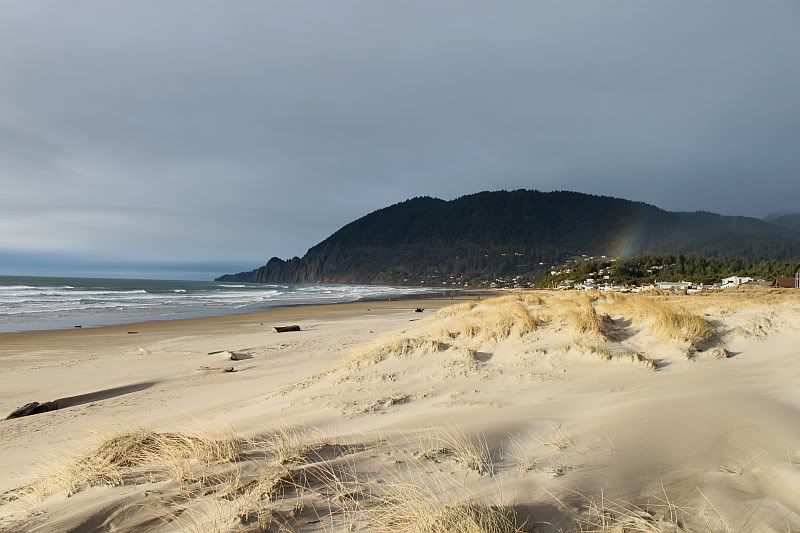
The views were amazing that day and we were able to see at least nine major peaks from the top.


The top of the tower was not for those with an issue with heights as the floor was somewhat old and the railings on the tower weren't outrageously strong or secure.


After meeting up there with the final member of our party, who had spent the night atop the mountain, we continued down the road/trail until we came to a bit of an obstacle. Not too difficult but we did have to pick our line carefully to avoid hitting your rockers or axles. (I didn't pick terribly well but no visible damage)

After zigzaging our way around the hills, running into several blockages, locked gates and a MASSIVE landslide, we made our way through an unlocked gate and started making some down hill progress.


Unfortunately, at the bottom we found a locked gate, just yard from the road we were aiming for.

After talking with a passerby, on the other side of the gate, for a few minutes, we headed back up into the hills to try and find another way out. Another half hour off the clock and we found another locked gate. Luckily, as we were there discussing our options, a hunter came down the hill who happend to have a key. He let us out "cause they wouldn't be too happy you were in here" and we headed a few miles up the road to a trailhead, our goal being Henline Falls.

The hike, though advertised as about half a mile, turned out to be more like one mile but eventually we got to the falls.

You'll notice to the right of the base of the falls, is an old mine, which we explored to about 50 feet, where it was gated.

Eventually our group dwindled to two, so we decided to drive up to the lower side of the landslide that had blocked our progress earlier. We found a massive landslide, half a mile across according to my GPS with no evidence of the road that used to go through there.

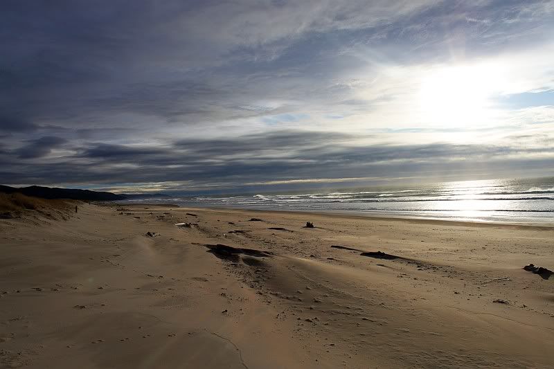
We headed back down and said our goodbyes and started toward home, but not before enjoying the evening sun going down.

It was nice to get out amid all that was going on with my family and just be distracted for a day. I've done some other trips since then and will work to get them online in the coming weeks.